Google Maps may soon help you connect to mass transit
The app is looking at ways to help people commute via mass transit

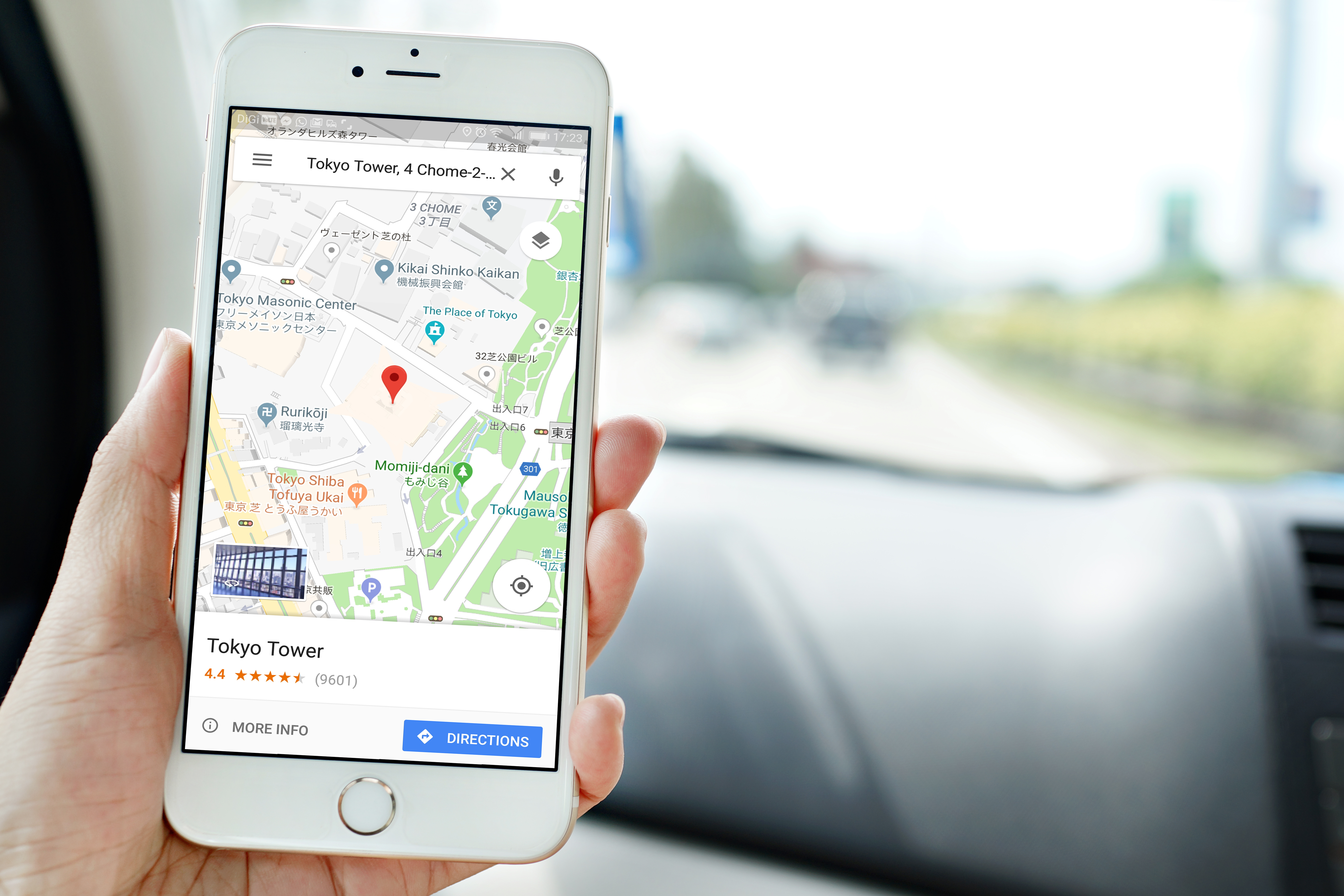
Google is reportedly working on a way to nudge people back to their favorite mass-transit options using its Maps app.
According to 9to5Google, a blog that likes to snoop through Google’s code to find tidbits of what’s to come, Google maps may introduce “1st-mile” trips. This would help users plan their commute by providing route and times via car, bike, motorcycle or even autorickshaw to a park-and-ride or transit stop.
Traffic has been light in recent months, as people worldwide work from home because of the coronavirus pandemic. As regulations are lifted and companies begin opening their doors to their employees again, that could change dramatically. Not only will workers get back on the road, but experts predict that many who previously used mass transit may choose to avoid it, potentially causing traffic chaos.
This isn’t Google Maps’ first foray into the transit realm. Last year, it released a feature showing live traffic delays for buses and other transit.
Google maps might also enhance its ride-share data by working with companies like Uber or Lyft to sync ridesharing costs. A user could choose a route and decide if it’s worth calling for a ride without bouncing out of Google Maps to look it up in a ride-sharing app.
Google recently introduced COVID-19 transit alerts in the UK and expects to release is in other counties, including the United States, soon.
Sign up today and you will receive a free copy of our Future Focus 2025 report - the leading guidance on AI, cybersecurity and other IT challenges as per 700+ senior executives

